Earth polis provides its users with online access to geographic data at any time, from anywhere and allows direct visualization, analysis and querying of the data.

Earth polis provides its users with online access to geographic data at any time, from anywhere and allows direct visualization, analysis and querying of the data.
The user can manage the available geographic data layers, enable and disable them according to his requirements and access their descriptive data.

The citizens are given the option to depict geographically a point of interest and then fill in the appropriate form and report a specific problem that has been identified in the region (tool for local government).

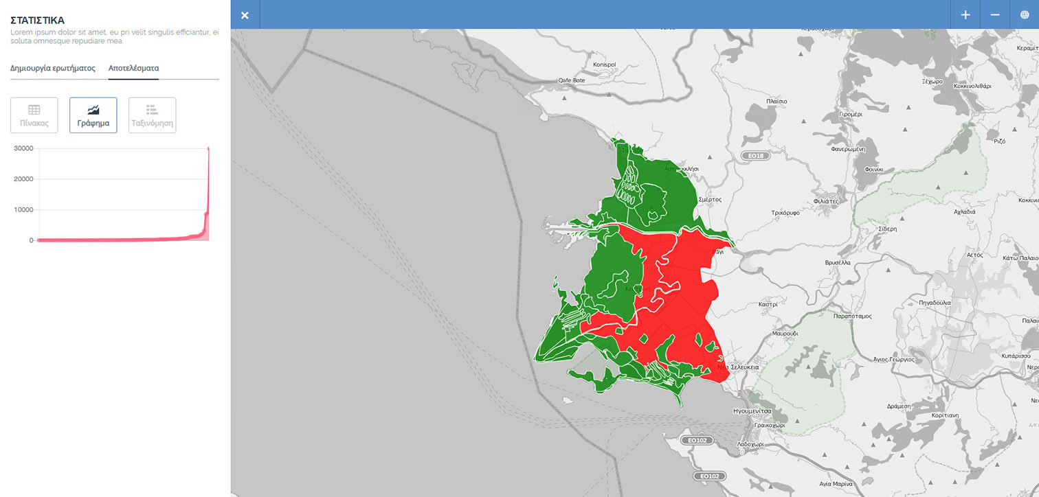
The user can create queries, using the available geographic data layers, depict the results of queries, adjust the visualization styling, etc.

Creating statistics for each field, such as minimum, maximum and mean values, standard deviation, etc. Classification by different methods, such as equal ranges, natural break etc.
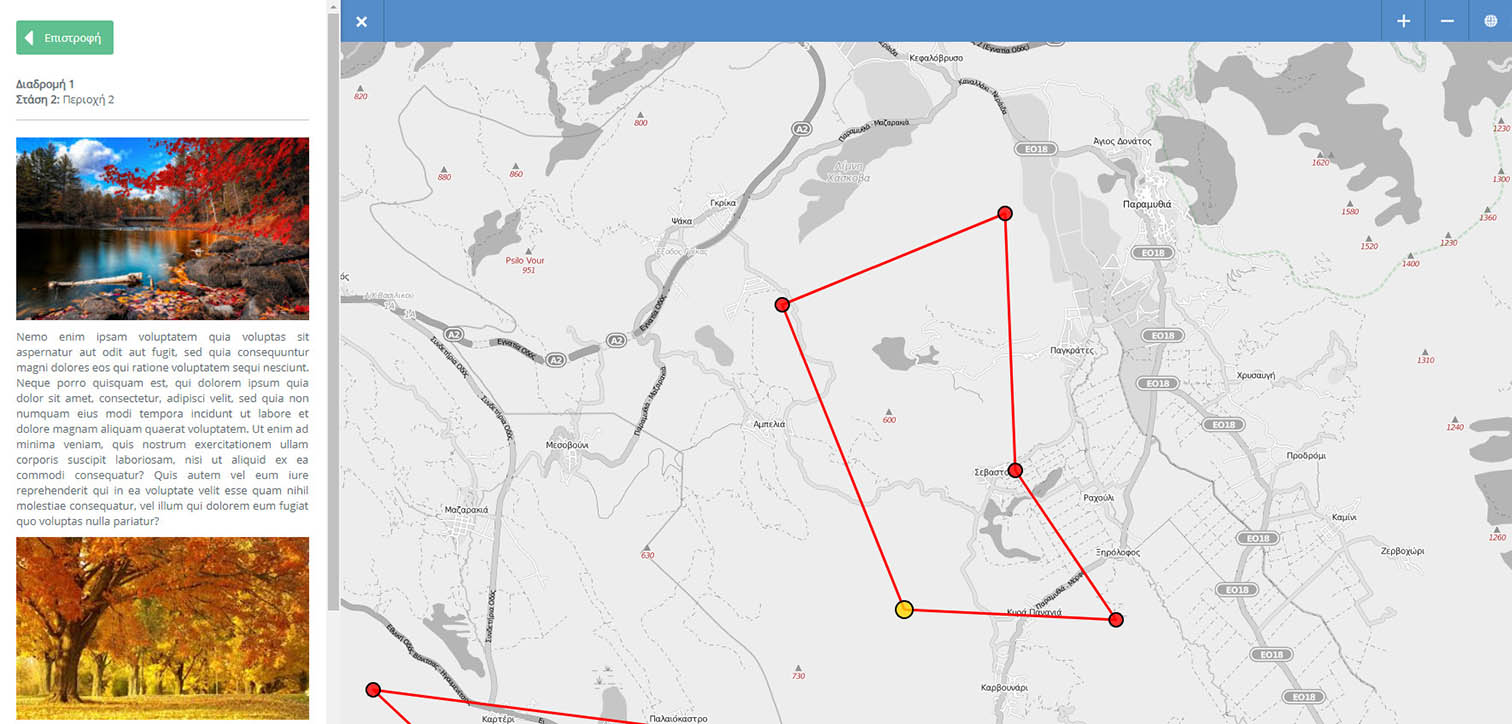
Depiction of routes in the area that the user can follow, with points of interest, for which detailed information is provided through the platform with text, photos and video.